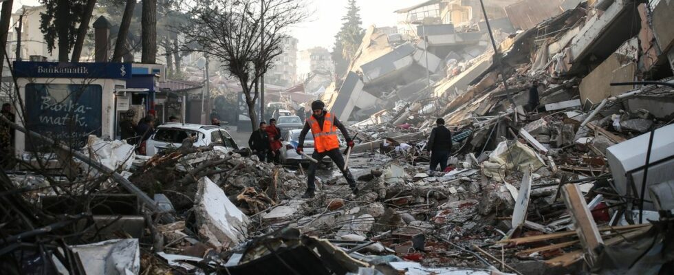
All the technology in the world cannot anticipate a disaster like the one that occurred in Turkey and Syria this week. This earthquake, with a magnitude of 7.8 on the Richter scale, caused the death of more than 22,300 people, according to a latest assessment communicated this Friday morning by the authorities of the two countries. Nevertheless, a posterioritechnological help can also come from the sky and space agencies with the reprogramming of satellites in order to help local relief.
A CNES and ESA initiative
Since November 1, 2000, there has been an international collaboration known as the International Charter for Space and Major Disasters, through which satellite data and information is available to crisis management organizations in the event of major disasters.
Launched at the initiative of CNES and ESA, this charter brings together 17 space agencies and space system operators from around the world, for a total of more than 200 satellites. In France, CNES thus mobilized its Spot, Pléiades and Pléiades Neo optical satellites, as well as reprogrammed radar satellites to fly over the area of the earthquake and its aftershocks, then provide data on the sectors concerned.
“After authenticating the activation request and verifying its relevance, the charter programs the satellites (via the agencies concerned) in order to provide so-called ‘value-added’ maps as quickly as possible, which perfectly illustrate the situation on the ground and are directly usable by the organizations concerned, without requiring special knowledge of space imagery”says Emilie Bronner, CNES representative in The Conversation. “From space, she adds, crucial information can be obtained to guide relief and humanitarian aid that conveys water and food. Data inaccessible from the ground, especially in the event of disasters. This involves mapping the condition of roads, bridges, buildings, and also – crucial here – identifying populations trying to escape the effects of potential aftershocks by congregating in stadiums or other open spaces. .”
Nearly 800 activations in 20 years
The charter adopts a principle of universality. In concrete terms, any national crisis management authority can submit requests during interventions in the event of an emergency. The affected country is not required to be a member of the charter. The Turkish Disaster and Emergency Management Authority (AFAD) thus requested its activation at 7:04 a.m. on Monday February 6, a few hours after the tragedy. The UN was responsible for transmitting the petition for Syria at 11:29 the same day.
Since its creation, the International Space and Major Disasters Charter has already been activated nearly 800 times in more than 130 countries. For example, it was triggered in August 2021, after the 7.2 magnitude earthquake in Haiti (more than 2,000 victims), or in 2020 in Australia, during the terrible fires that had ravaged the country. In 2000, its first application concerned a landslide in Slovenia.
However, the Charter is not always applicable. There are cases outside the framework, such as armed conflicts, heat waves or epidemics, where the interest of spatial imagery is limited. It is particularly relevant for sudden natural disasters such as hurricanes, tsunamis, earthquakes and landslides, forest fires, volcanic eruptions. It can also be used during industrial accidents or oil spills. It is most of the time activated for phenomena of flooding or submergence of the littoral zones.