The essentials in brief:
- From Friday to Saturday at times strong wind with stormy gusts
- Until Monday, rain again and again with a falling snow line
- On Monday snow down to low altitudes and frost the following night
Cold front will bring rain and wind on Friday
On Friday, a cold front will bring “huddelwetter”: there will be widespread rain, which can also be heavy. In addition, the wind is picking up, stormy gusts are to be expected north of the Alps. The snow line is mostly still in the high mountains at about 2000 m, it only gradually sinks in the night to Saturday.
Legend:
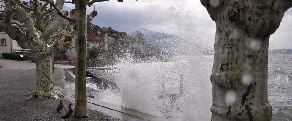
On the lake shore, the water will come from above and below in the next few days.
Christian Bachmann
DST on weekends only on clock
The strong wind accompanies us through the entire weekend. On Saturday there will be “April weather” in the north: sun, clouds and showers alternate again and again. Rain or snow will continue to fall on Sunday, but the sun will shine less often than on Saturday. The snow line is between 1000 and 1500 m at the weekend. The temperatures are also falling, there are still around 12 degrees at the weekend in the lowlands. It remains much milder in Ticino, where the sun often shines.
Legend:
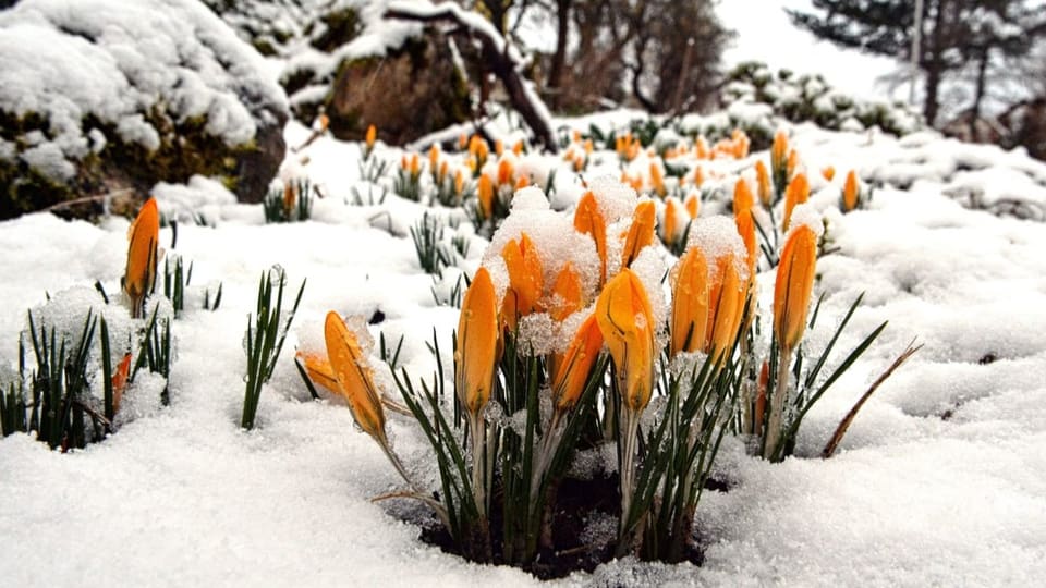
Man and nature have to go through this: a cold phase follows.
Franz Schweizer
«Wintermezzo» on Monday
At the beginning of the new week, arctic cold air flows towards Switzerland. This means that there is snow again at low altitudes, especially in the foothills of the Alps and on the northern slopes of the Alps. A portion of fresh snow is possible on the mountains in these regions, it could be around 30 cm. It is less clear whether there will also be enough snow in the lowlands, since it could already dry out when the cold air arrives. In the night on Tuesday, widespread frost is to be expected with polar air.