
Modern art is becoming more and more diverse: With “GPS-Art” runners and cyclists create small works of art that are made with their GPS route data. We’ll show you everything you need to know about “GPS Art”.
Art with GPS signals? This is how GPS Art works. (Source: julief514 /depositphotos.com)
- The “GPS type” refers to walking or driving along a certain route.
- This route results in a drawing displayed on a map.
- The RunGo website allows you to create your own GPS artwork and run the routes.
Modern art is more diverse than ever and is constantly evolving. A relatively new phenomenon is the concept of “GPS Art”. Here, runners or cyclists create training routes that are small drawings at the same time. Depending on the length of the line, this can result in simple drawings, such as an animal head, or complex works of art, such as whole people.
The challenge here is firstly to design the route as efficiently as possible so that no superfluous lines have to be walked or driven, and secondly to find the right streetscape for a drawing in a complex area such as a large city. In this article we will show you how you can create your GPS Art route with an app.
RunGo: Create routes for GPS Art
There are many apps and websites that can be used to create regular running routes that can be used to create GPS Art routes. RunGo is also an ordinary website for creating and exporting running routes. However, there is a special option here: Images can be uploaded and placed on the card.
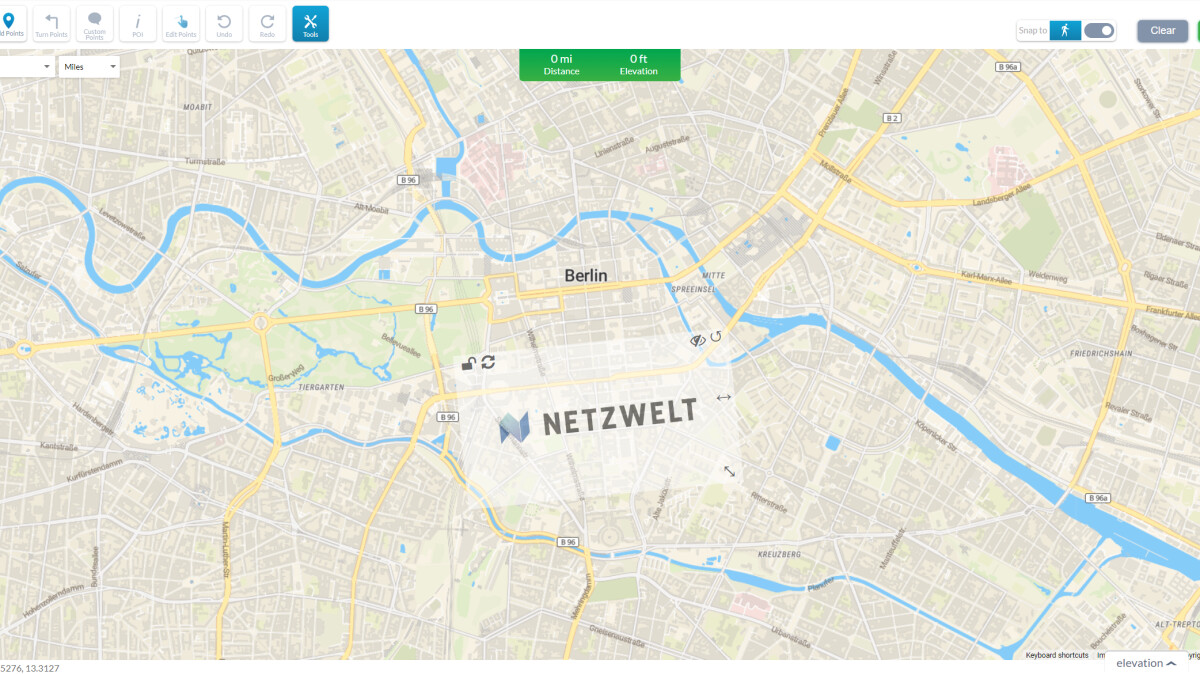
How to upload a photo to RunGo. (Source: Netzwelt)
So you can download a picture of your desired drawing, upload it to RunGo and look for possible street constellations in your city where you can run the drawing. It’s worth noting here that this may not work as well in more rural areas with fewer roads. You can find the function in the route creator under Tools -> Image.
Running a GPS-Art route: Here’s how
As soon as you have created your desired route, you can either run it directly in the RunGo app or export it to another running app. Unfortunately, you can only download finished track files in GPX or TCX format if you want to pay four dollars a month for the premium version of the service.
If you have downloaded the GPX or TCX file, you can import it into Strava or a similar running app, for example. There you can walk the route and record it with GPS. Your own GPS art is ready. There are no limits to creativity here – apart from your running skills and the road constellations in your area, of course.
Don’t miss anything with the NETWORK-Newsletter
Every Friday: The most informative and entertaining summary from the world of technology!