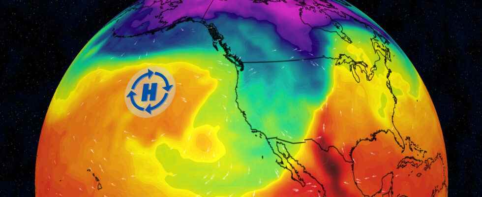
In principle, the explanation is quite simple. In a La Niña, the North Pacific high is stronger than normal. And that strong high keeps blocking the westerly winds, triggering powerful wave action in the northern hemisphere. In the end, this means that cold air flows south over the Atlantic and warm air reaches Central Europe as a compensatory movement. It sounds easy, and it happens all the time this year.
But one must not forget that these connections are not strict, i.e. they do not necessarily have to follow one another. While it’s true that the high over the Pacific is stronger than normal, it’s not always there either. And on the other hand, there is always a wave movement of pressure and temperature in our latitudes. In addition, the pattern is still quite sharp in America, but loses contour downstream – that is, towards Europe. This simply means that a lot can still happen on the way to Europe.
Nevertheless, the statistics are clear. In summary, warm air outbursts occur again and again in Europe, but they can be interrupted or disrupted by other weather patterns. But one mustn’t forget that the weather tends to change, so that an individual pattern emerges every year. And autumn 2022 has already leveled off. It can therefore be assumed that the patterns of the past few weeks will repeat themselves.