Space has become in just a few years an area where projects are multiplying, the latter being now regularly imagined and promoted by private companies and start-ups. Among them, the American company Array displays a particularly interesting objective, without however sinking into phantasmagoria cut off from all economic reality.
The idea is to design a 3D map of the Earth’s surface by combining new capture tools and calculations involving in particular the latest developments in graphics processors.

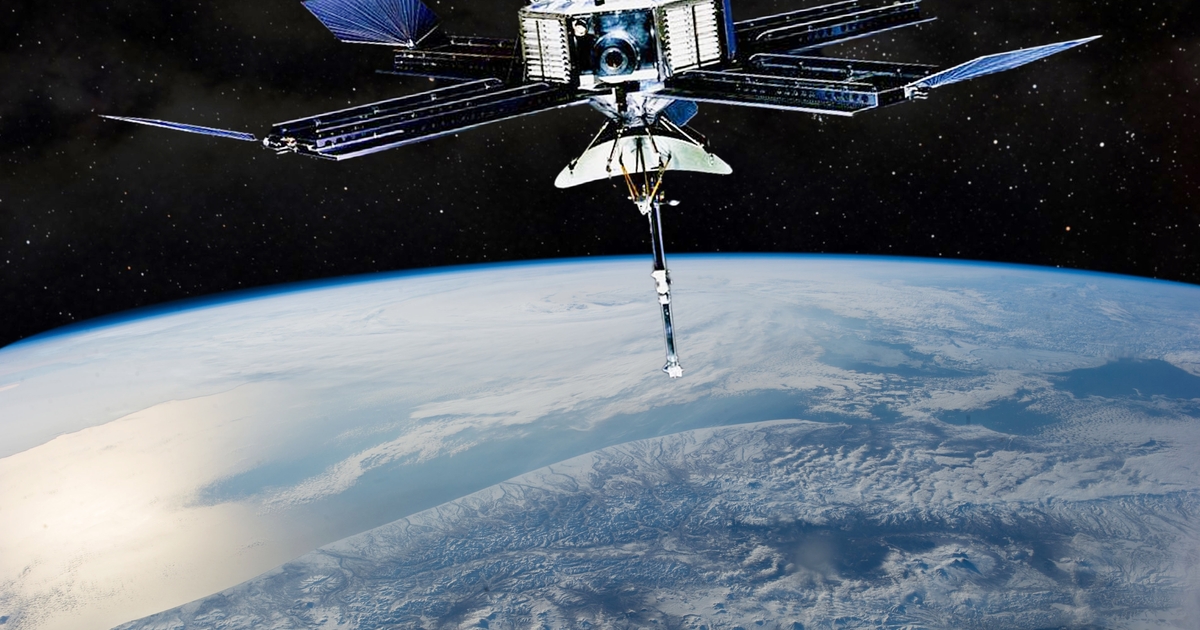
Squadrons of satellites
Created two years ago, Array is led by Andrew Peterson, an aerospace engineer. He detailed the company’s strategy to journalists from the American site TechCrunch. The first step will be to fly squadrons of satellites carrying the latest generation radars into low Earth orbit. Satellites will be organized into groups of 10 and 20 devices eventually. A group would be able, according to Array, to capture 5% of the Earth’s surface alone, which represents 95% of the world’s population covered in just two weeks of flight. A first experimental group of satellites should be launched next year by SpaceX.
The 3D image will be created by putting together images of the same location captured from different angles. Eventually, Array will lead to a complete digital recording, in 3D and in very high resolution. An accuracy of 20 cm is announced. The start-up has therefore developed a new technology called Multistatic Radar, which allows several satellites to work together. Capture can be done 24 hours a day, 7 days a week and in all weather conditions and in all environments, from the densest cities to the steepest mountains. Once the data has been collected, it will be necessary to process it. And this is where maximum computing power will be needed.
Diverse and varied applications
The use of these 3D maps can interest many fields of activity. We naturally think of defence, the management of natural disasters, the observation of climate change… Thanks to their very high degree of precision, Array thinks that its maps will allow autonomous vehicles to gain in precision and safety. While waiting for the start of the space tests, the validation of the process goes through a phase of experimentation on the ground which has already started and the first feedback from which is very encouraging.