Contents
For almost half a century, the Federal Office of Topography has engraved its original maps in glass.
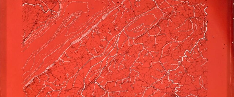
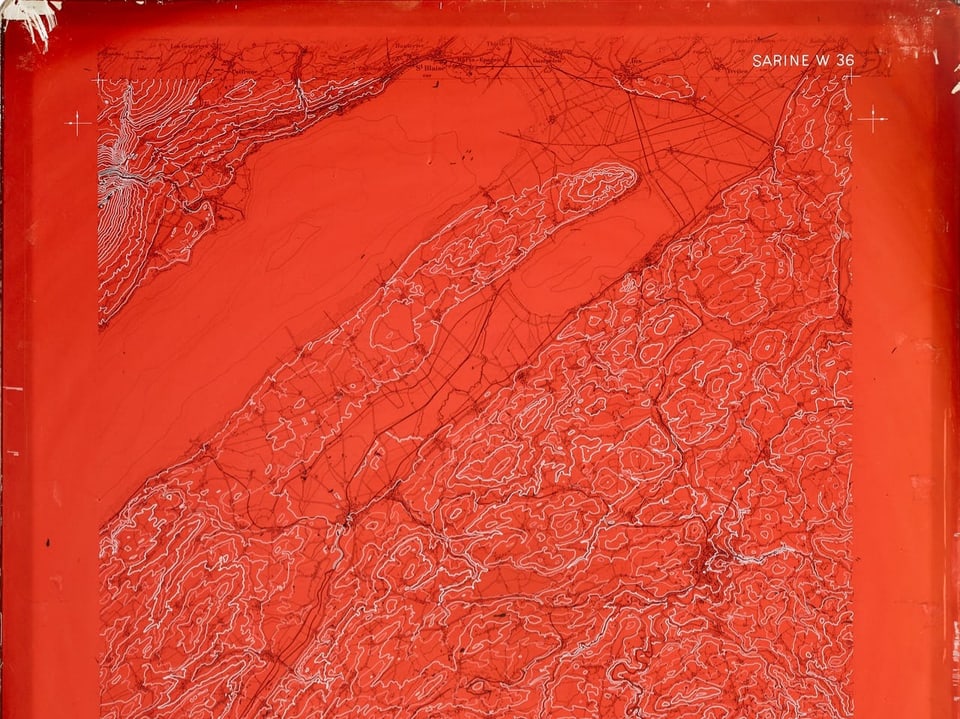
Fine white and black lines on a red glass plate: At first glance, the map of the course of the Saane is more reminiscent of abstract glass art than a topographical map. “It is a piece of Swiss success story,” says Lukas Gerber, historian at the Federal Office of Topography Swisstopo.
Developed own process
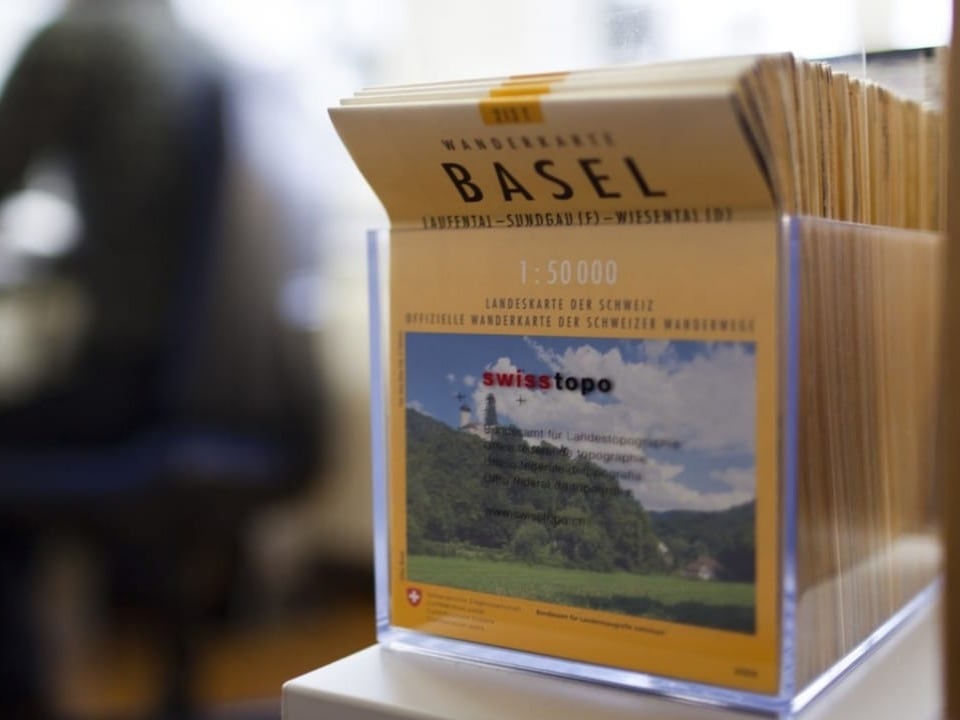
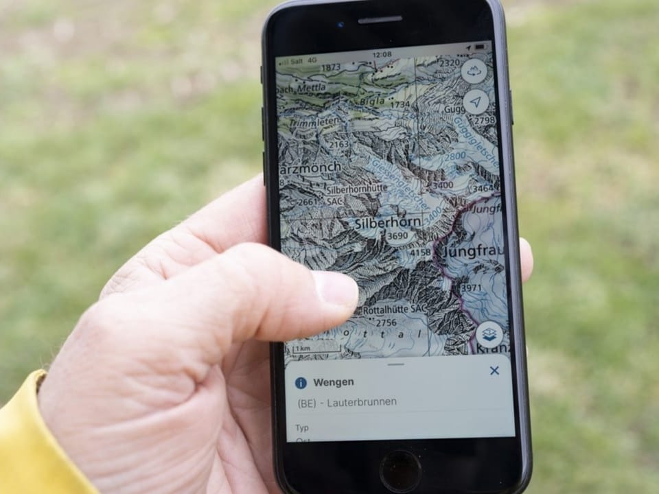
Swisstopo measures Switzerland, surveys and documents changes in the landscape and produces maps of Switzerland. Whether a folded national map for on the go or a map on your smartphone: all Swiss maps need an original.
But why did Swisstopo choose glass, which is generally considered a fragile material, for these valuable originals?
To understand this, we need to look back: in 1935, Swisstopo was commissioned to create new maps of Switzerland. The Federal Office gets to work, using well-known processes and scratching the cards into stone or metal. But that takes too long. «Swisstopo fell behind schedule. In 1949, only a third of the required maps were ready,” explains Lukas Gerber. Criticism is loud: the techniques used are too complicated and too expensive.
Swisstopo is desperately looking for new techniques and testing different materials. Including glass, to which an engraved layer of lacquer is applied. «Glass has the advantage that it remains stable despite changes in humidity and temperature fluctuations. The dimensional accuracy is guaranteed and the engraved remains as it is over a long period of time.”
Glass only insured at the beginning
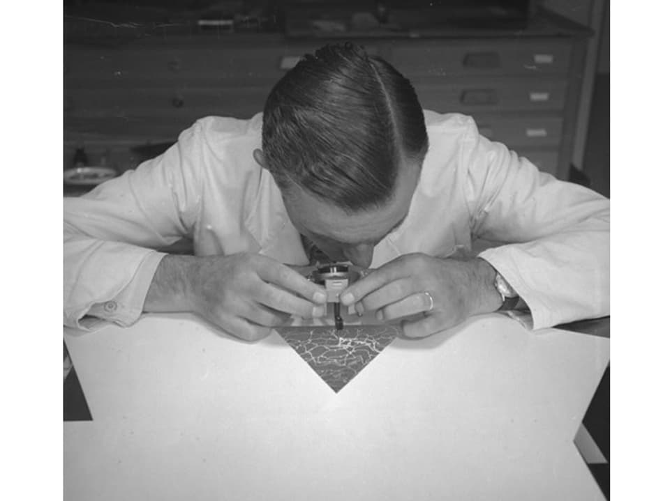
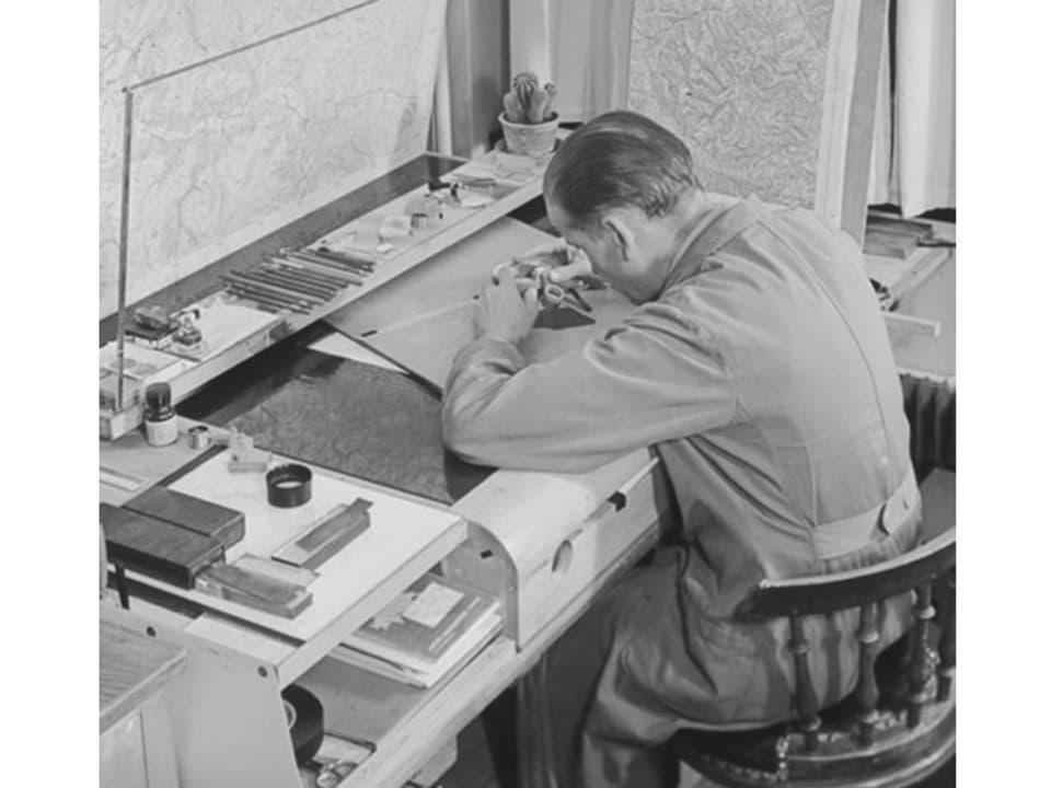
The Federal Office of Topography is therefore relying on glass and is developing its own process, an – as the historian says – “extremely complicated process” with over seventy intermediate steps. Nevertheless, this is cheaper and faster than the old, well-known techniques. This pioneering achievement is a liberation for Swisstopo.
Legend:
With glass engraving, map sheets of the national map could be produced more cheaply. As a result, from the 1960s onwards, cards were no longer only used by authorities, but also by the population.
Keystone/Gaetan Bally
But should you immortalize such important information on glass? Apparently Swisstopo was also initially skeptical. “But that has changed. In the 1960s, a Swisstopo employee said in a newspaper that they had now canceled the glass insurance because no glass had ever broken.”
Until the end of the 1990s, Swisstopo used glass engraving to store the original national maps. “These originals guaranteed that the maps remained printable for decades and also that they could be updated again and again,” says Lukas Gerber.
Legend:
Everything digital: The introduction of computer-based cartography in 2001 meant the final end of glass engraving.
Keystone/Christian Beutler
Since the 1980s, Swisstopo has been working on new imaging and storage processes. Since the beginning of 2000, all original maps have been stored digitally. The Federal Office therefore no longer needs physical originals today. The glass plates have had their day.
Regional Journal Bern Freiburg Valais, February 26, 2024, 5:31 p.m.; kemo; stes; lanr;kesm