Contents
Heavy rain will fall until Thursday and more snow will melt. This further exacerbates the flood situation.
- Rain will fall repeatedly, at times intensely, until Thursday
- The snowfall limit is still around 2000 m
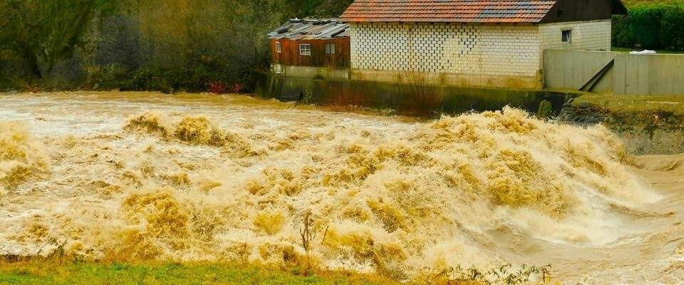
- A lot of rain and meltwater cause floods, floods and landslides


Adverse history
Several factors are currently creating an unfavorable situation for flooding. It has rained a lot since mid-October. That’s why the rivers and streams were already carrying a lot or a lot of water at the weekend. In addition, the soil is saturated and drains are not clear in places due to snow or ice. The snow cover in the mountains is above average. Some of the snow has melted or continues to melt and is added to the runoff of the rain.
Precipitation amounts
On Tuesday it will rain widely and up to around 2000 m. There will be more heavy rain showers on Wednesday. After all, the snowfall limit drops again to 1500 to 1000 m. On Thursday, precipitation falls mainly on the northern slope of the Alps and the snowfall limit drops to 700 m by the evening. On the northern slope of the Alps there is a total of another 20 to 50 mm of precipitation until Thursday evening. The risk of landslides is likely to worsen accordingly. There have already been traffic disruptions, especially in the western parts of the country.
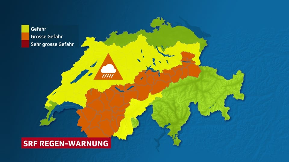
Legend:
There will be a lot of rain, especially on the northern slopes of the Alps, up to and including Thursday.
SRFMeteo
flood situation
The levels continue to rise due to the rain and meltwater. The The flood outlook from the Federal Office for the Environment (FOEN) therefore warns of level 2 of 5 floods on small and medium-sized rivers on the northern slopes of the Alps, in the Jura and the Mittelland. The following waters are warned at level 3: Aare below Lake Biel, Aare below Lake Thun, Canal de la Broye, Doubs, Hochrhein, Limmat, Lake Murten, Lake Neuchâtel, Sihl, Lake Thun, Zihlkanal. There is a high risk of flooding, level 4, on the Arve near Geneva and now also on Lake Biel.
What happens next from Friday?
The flood situation is not yet over. Even if the rainfall subsides by Friday morning, water levels will remain elevated for longer. The high pressure situation that will prevail over the weekend will then contribute to increasing relaxation.
Danger of avalanches
The combination of fresh snow at high altitudes and wet snow at lower altitudes leads to a high risk of avalanches throughout the Alpine region.
The conditions are dangerous for winter sports away from the secured pistes.