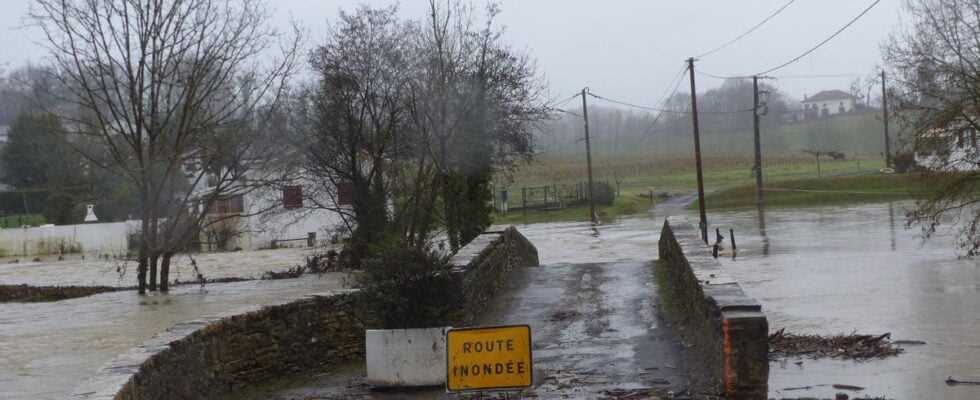
Landes and Pyrénées-Atlantiques were downgraded to orange vigilance by Météo France, this Monday evening. The observed floods did not reach the levels of December
The departments of Landes and Pyrénées-Atlantiques are finally returned to orange vigilance to “floods” at 10pm on Monday evening. They had been in red vigilance since Sunday evening, i.e. the maximum level, due to cumulative intensive rains on the Pyrenean chain, Météo France announced on Monday afternoon, which, on the other hand, is downgrading to the east.
The Météo France map was modified Monday evening at 10 p.m.
Earlier in the day, Hautes-Pyrénées, Haute-Garonne and Ariège had also been classified in “red” for “rain and flood” then demoted to orange vigilance “floods”, “avalanche” and “rain and flood”, while that the Lot-et-Garonne, the Gers, the Tarn-et-Garonne remain in vigilance orange “floods” and that the Pyrénées-Orientales as well as Andorra are at the same level concerning the avalanches.
Precipitation will subside
In the Pyrenees, precipitation will subside overnight from Monday to Tuesday before the return of dry weather. The reactions will continue on all the rivers in the sector. Almost all the sections of the Pyrenean rivers going from the Basque Country to the Lannemezan plateau and up to the Ariège are placed at least in orange vigilance for the risk of significant overflows, the Vigicrues site indicated on Monday evening.
The flood waves that have formed on the upstream side of the Garonne and Adour watersheds will spread to the plain areas in the coming days. On the Gave d’Oloron, the maximum was reached this Monday evening at Escos, at levels remaining significantly lower than the flood of December 2021 and no longer justifying its continued vigilance in red, the operator continues.