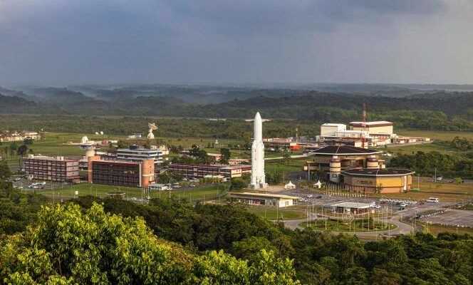
They are called “Ceres”. They are three in number. And thanks to their successful launch on Tuesday, November 16, from the Kourou base in Guyana, the French armies should in the coming months have a unique intelligence capacity in Europe: listening to radar signals. What specialists call signals intelligence (ROEM).
Until now, France had mainly to rely on the United States in this matter. With this launch, it believes it is defending its strategic autonomy and joins the club of the few world military powers with this capacity, such as Russia, China and the United States. A launch that comes just as the United States denounced and attributed to Russia on Monday an anti-satellite fire that led to the creation of numerous orbital debris possibly endangering the seven people currently on board the International Space Station , including two Russian cosmonauts.
Concretely, the Ceres satellites built by Airbus Defense and Space and Thalès have two main goals. The first is to make it possible to move upmarket in terms of “strategic” intelligence. Clearly, being able to better map the world of transmitters, that is to say the location of telecommunications centers or all the radars that detect, trigger or control enemy systems, in particular linked to missiles. “We will thus be able to better protect ourselves from enemy ground-to-air systems”, explains General Thierry Blanc, deputy of the space command.
Track ships more easily
The second interest of Ceres satellites for the armed forces concerns “support to operations”. Whether it is to protect troops intervening on the ground or planes during their raids. They give the possibility to monitor “In the depth”, details General Blanc, in areas not so far accessible to conventional means of intercepting ROEM signals, such as Awacs type planes or the ship Dupuy-de-Lome, etc. One way to contribute to the air superiority of French aviation and to limit the so-called “denial of access” zones.
These satellites are also of great interest to the navy. It will now be possible to track ships of all kinds much more easily than before, in particular over time. An important issue at a time when the maritime domain is becoming more and more conflictual, especially in the Mediterranean and the Indo-Pacific.
You have 70.05% of this article to read. The rest is for subscribers only.
