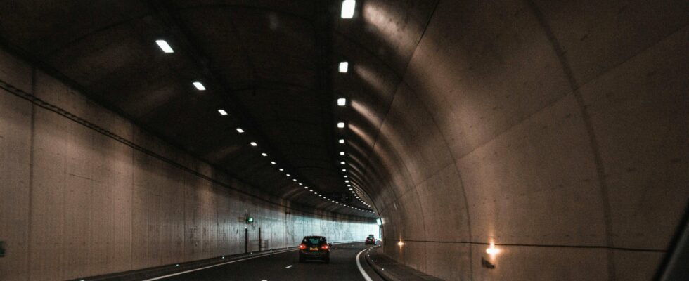
GPS depends on satellite signals, so it loses all effectiveness in tunnels. The question arises: how to triangulate with satellites if the sky is obstructed? Google provides a response to this problem by integrating a new functionality into Google Maps, specially designed to work even in tunnels.
This progress is, for the moment, exclusive to Android devices. The reason ? It is based on the use of Bluetooth, access to which is restricted on Apple devices. According to SmartDroid, Google Maps for Android now offers an option to connect to Bluetooth beacons (beacons) installed in the tunnels of many world metropolises. So even in the absence of GPS signals, your Android phone can maintain connectivity with Google Maps.
After Waze, it’s Google Maps’ turn
Although Waze, also owned by Google, has had this functionality for a few years, its integration into Google Maps is relatively recent. It is important to note that this technology is not universal for all tunnels. However, according to the Waze Beacons program support page, many cities such as New York, Chicago, Rio, Brussels, Oslo, Sydney, Boston, Mexico, and even Paris have already adopted the tags.
Regarding their operation, the Bluetooth beacons in the tunnels act as digital markers. When you enable this option in Google Maps, your phone detects these beacons and uses their signals to infer your position and orientation in the tunnel. Moreover, in terms of confidentiality, there is no need to worry: the beacons emit a unidirectional signal towards your smartphone, without collecting data.
For enable this feature, go to Google Maps settings, select “Navigation”, then head to the “Driving Options” section. Here you will find the option Bluetooth tunnels beacons. By default, this option is disabled. Once activated, a simple confirmation procedure will guide you to finalize the settings.
