You shouldn’t trust it. Even if the upper Jura experienced a new snowy episode this Sunday, it is rather cold, dry and sunny weather that should settle in throughout the week. A few snowflakes may still twirl around up to 300 meters this Monday morning but the precipitation is well and truly behind us with beautiful clearings in prospect at all altitudes during the day.
“We are going to start again on high pressure conditions in a sustainable way at least until Thursday, we warn at MétéoNews. The nights will be cold with fairly widespread frosts and the days will be rather beautiful with temperatures close to 10° in the plain and between 5 and 8° in the mountains”.
A deterioration could take place overnight from Thursday to Friday with the arrival of a new disturbance. The rain-snow limit will then be between 700 and 1100 meters above sea level. “Friday will be cloudy but rather dry. And the temperatures will start to drop again.
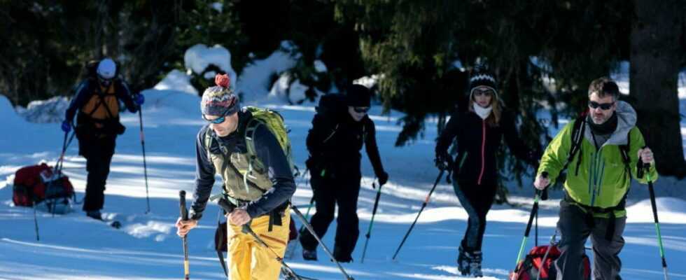
Although the forecasts are less reliable for next weekend, it seems that we can expect dry and cold weather with beautiful sunny spells. Temperatures will drop significantly, especially on Sunday, with up to -6° in the morning at altitude. Almost perfect conditions for the competitors in the Transjurassienne which will take place on February 12 and 13 after two years of absence.