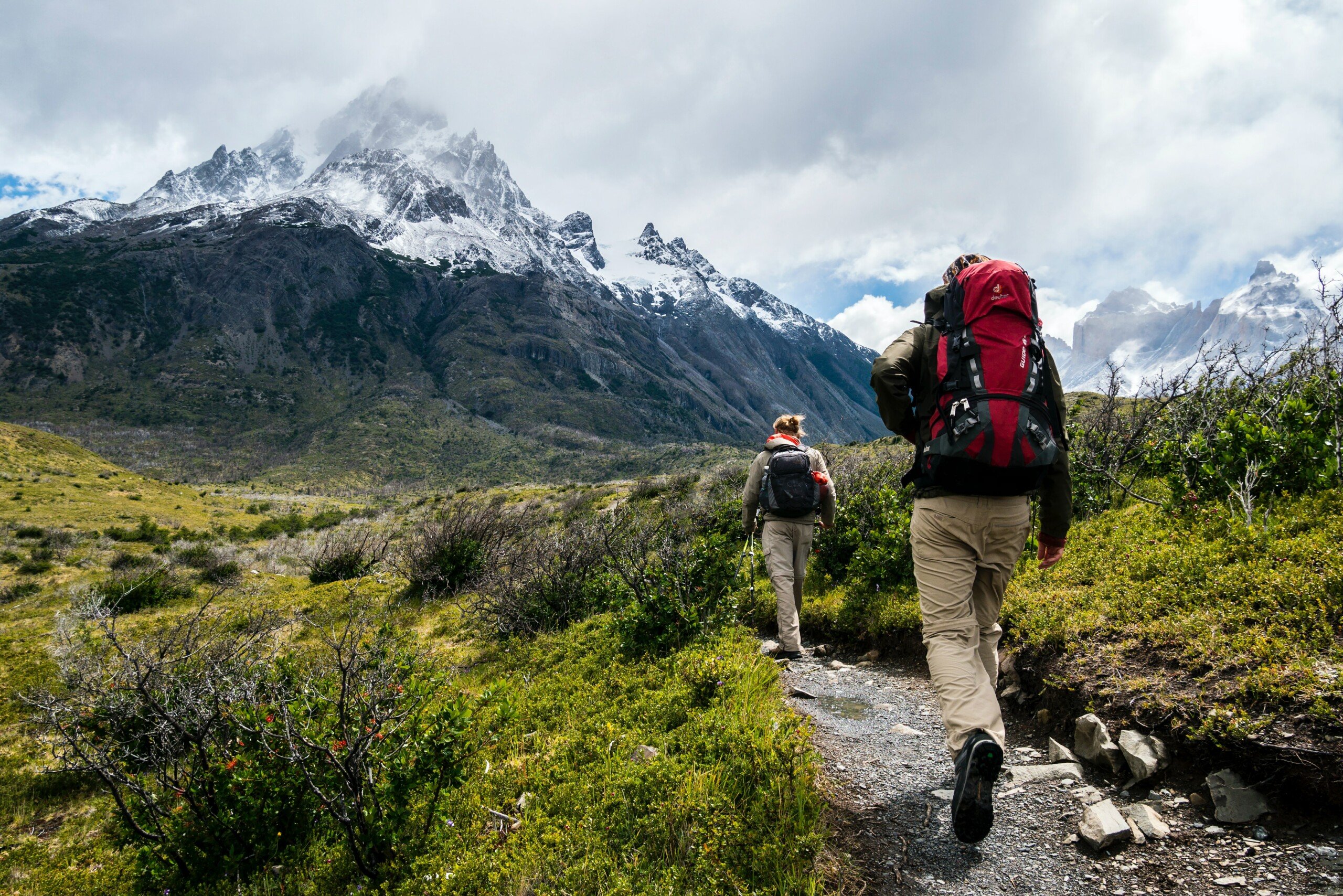
Hiking is a great way to keep in shape and clear your mind, whether in the mountains, by the sea or in the middle of the countryside. Many applications dedicated to hiking are available on smartphones. Here is our selection to better find you there and accompany you in your most beautiful walks.
A few clarifications are in order before we begin. First of all, you should know that many applications dedicated to hiking or bike rides are designed above all for those who are used to reading topographic maps, who may know how to use a compass and who will not let themselves be destabilized by dry and unwelcoming interfaces. But other simpler apps also exist.
Finally, it is surely a no-brainer for seasoned hikers, if you go hiking, remember that these applications consume a lot of energy. So remember to charge your phone to the maximum when you leave, or even bring an external battery. On this specific point, the good old paper map will always have an advantage.
Visorando, one of the benchmarks for the rando app
The Visorando app is one of the benchmarks for hiking. Very complete, the application supports several activities (on foot, mountain biking, skiing, horseback, canoeing, etc.) that the user selects beforehand. You must then define the duration of the activity, its level of difficulty and whether or not you want to return to the starting point.
The application then submits a list of hikes with a series of information (number of km, elevation, duration). By clicking on the hike of your choice, the interface allows you to define the desired base map (Topo IGN, Satellite IGN, OpenStreetMap hiking, OpenStreetMap and OpeStreetMap cycling). Downloading the map to your phone is possible.
A “Details” tab provides a complete description of the hike, accompanied by valuable advice to avoid taking the wrong path in tricky places. Finally, another “Reviews” tab allows you to consult feedback from other users. In short, Visorando is both very complete and very practical.
Komoot, to easily find a hike
Komoot is an easy-to-use application: indicate the activity practiced, your physical condition (the degree of difficulty, in other words), the type of hike (loop or one-way) and your current position. A map then allows you to select points of interest (bridges, crossing point, chapel) from which the app will imagine the hike.
A search tab gives you the opportunity to filter the type of walk, going through the essentials, natural sites, passes or refuges, to name but a few. You can then save the hike or click on the “Navigation” tab which will guide you through your outing. The camera option directly available in the interface can also be practical to immortalize a moment in one click.
Once the hike has been selected, the interface indicates a plethora of information about it: from the type of routes to the type of surfaces and the elevation profile. Much appreciated completeness. Only Komoot cards are accessible for free.
Maps.me
Maps.me will not necessarily help you find your favorite hikes, but it is very practical once on the trails. Remember to download the map corresponding to the geographical area where you plan to go and then take advantage of a very detailed plan without needing to be connected to the Internet. It is a benchmark for offline GPS.
You can import your routes in GPX format on the application if you wish. But even without taking the time to do this, you will never be lost since, you really have to emphasize it, Maps.me is very precise and even displays some very small paths and trails. In comparison, a service like Google Maps offers much less detail once you’re out in the wilderness.
On Maps.me, there is a very small chance that you will find yourself in an area where no small dotted path appears on the screen to reassure you and give you an idea of the direction you are taking.
PlantNet: recognizing the flora around us
Walking around is good, but knowing exactly what you see is even better. With PlantNet, it is possible! This application could be vulgarly summarized as a “Plant Shazam”. The application works like this: you take a picture of a plant, you enter it in the application, you specify the part of the plant in question (leaf, stem, bark, etc.), then all this will be compared in the PlantNet database to give you a result.
Problem: you have to be connected to the Internet, something that is rather rare when you go on certain paths.
Paid maps for your hikes
A consideration for the vast majority of these applications is thatthey are almost never provided with complete and detailed maps. Some of these apps do offer free maps, but they will never be as good as IGN or Michelin maps. The “good” cards are chargeable and often require an annual subscription the price of which can vary enormously.
Roughly speaking, count on average 20 euros per year to access a good part of the IGN catalog in an unlimited and offline way. It’s the price of a single card and as long as you have a tablet or a large enough smartphone screen, it’s a very good investment.

For this price, you will have access to excellent maps, very precise with the difference in height, the points of view, the smallest end of path or forest path… In short, everything you need to orient yourself correctly.
Also note that we are talking about IGN maps because they are references on the subject, but that these applications have the good taste to offer for some of the hundreds of other mapping companies at very different prices and in countries other than France. It’s up to you to see which is best, but always make sure to check that they can be consulted without having Internet access. We wouldn’t want to lose our precious readers on a careless mistake.
If you are interested, you can also find our best running and trail apps.
To follow us, we invite you to download our Android and iOS application. You can read our articles, files, and watch our latest YouTube videos.