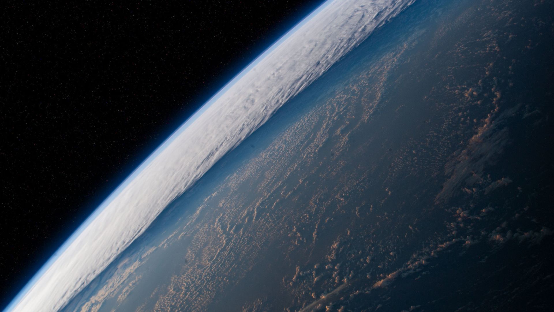
El Niño is a natural climatic phenomenon with planetary effects. Its influence extends far beyond the waters of the Pacific, where temperatures fluctuate according to the ENSO phenomenon (El Niño – Southern Oscillation).
El Niño returns, after 3 years of absence. Spring 2023 marked the return of this natural climatic phenomenon, which affects the entire climate of the world. Like its counterpart, La Niña, El Niño is a large-scale oceanic phenomenon, whose influence extends far beyond the waters of the equatorial Pacific.
What is the El Niño current?
El Niño is a natural weather phenomenon. It is characterized by warmer than normal sea surface temperatures in the equatorial Pacific Ocean. These water temperature anomalies are the cause of a cascade of secondary effects on a planetary scale.
How to explain El Niño?
More exactly, El Niño is a state or a phase of the ENSO, for “El Niño – Southern Oscillation”, or “El Niño – Oscillation australe” in French. ” ENSO is one of the most important climate phenomena on Earth due to its ability to alter the global atmospheric circulation, which in turn influences temperatures and precipitation worldwide “Summarizes the American Agency for Oceanic and Atmospheric Observation (NOAA).
What is the difference between El Niño and La Niña?
ENSO can be in 3 different phases:
- El Nino : the warming of the ocean surface, to above-average temperatures, in part of the Pacific Ocean.
- La Nina : the cooling of the ocean surface, to below average temperatures, in the same areas of the Pacific Ocean.
- The neutral phase : Temperatures are close to average.
El Niño and La Niña are therefore respectively the warm and cold phases of the same recurrent climatic phenomenon, ENSO.

Where does the name El Niño come from?
The name of the phenomenon, which can be translated as “the little boy”, is a reference to “El Niño de Navidad”, the child Jesus in Spanish. This is because it was the Peruvian fishermen who first noticed the warming waters, which disrupted their activity. The warming was observed from the month of December, hence its name associated with the Christmas period.
How long does El Niño last?
According to NOAA, the phases change irregularly every 2 to 7 years, “ causing predictable changes in ocean surface temperature and disrupting wind and precipitation patterns in the tropics “.
El Niño episodes usually begin in the middle of the year and can last from 6 to 18 months. Peak intensity is reached around Christmas.
” Once started, these anomalies can last for an entire year or more. “, according to the World Meteorological Organization (WMO).
When was the last El Niño?
The last time El Niño occurred was in 2018-2019. It then gave way to a very long La Niña phase. This episode of El Niño is considered weak.
On the other hand, the previous episode, which occurred in 2014-2016, was very powerful and its consequences were significant. ” We have just experienced one of the most intense El Niño episodes ever observed; it has led to the occurrence of extreme weather events on all continents and contributed to the heat records recorded in 2015 “Said the Secretary General of the World Meteorological Organization (WMO), Petteri Taalas.
When will the next El Niño be?
The phenomenon is officially back in 2023. In May, sea surface temperatures in the El Niño region were estimated to be above the long-term average by around 0.8°C.
However, in June, according to experts, the phenomenon is not as advanced as during previous episodes of El Niño (at the same time of the year). It is still too early to know if El Niño will be particularly virulent in 2023.
What are the effects of the El Niño phenomenon?
Anticipating the next episodes of El Niño is crucial to prepare for the dangers associated with it, including intense rains, floods, drought and high temperatures on a global scale. Both El Niño and La Niña affect “ wind patterns, sea temperature and precipitation sums up Météo-France.
During El Niño episodes, Indonesia and Australia can be exposed to dry conditions. Tropical storms and hurricanes are forming farther east than usual and may threaten French Polynesia. Peru is also exposed to intense rainfall, which can cause flooding.
” On a global scale, the average temperature tends to be abnormally high during the years affected by these episodes. This was the case in 1998, the year following a strong El Niño episode », Indicates Météo-France.
What are the links between El Niño and climate change?
Scientists remain cautious on the question of the impact of climate change on the El Niño phenomenon. According to Météo-France, current models of climate change do not predict the effect of climate change on the occurrence and intensity of ENSO episodes “. The progress expected in the coming years on the climate modeling of the oceans and the atmosphere could finally help to settle this complex question.
However, it remains undeniable that El Niño is part of the context of global warming. This phenomenon increases the probability of breaking global temperature records.
Do you want to know everything about the mobility of tomorrow, from electric cars to pedelecs? Subscribe now to our Watt Else newsletter!