
Who remembers those road maps unfolded with difficulty in a car in distress, between two roundabouts, on a motorway junction or on the edge of a departmental road? There was always a “Luchon-Perpignan” or an “Auxerre-Dijon” at 1/200 000e that was lying around in the glove box or briefcase. It was never unfolded on the right side, and often had to be patched up with duct tape.
“A paper map has a lot of advantages over an electronic guidance system. We have an overview of the region, we can easily look at it with others, we can write on it. »Philippe Sablayrolles, Michelin Editions
As for the large map of France, with the orange stain of the metropolises, it was the queen of long-distance travel. However, little by little, GPS and other smartphone, tablet or computer maps have dethroned this fetish of the XXe century. The “paper” card has not yet said its last word.
This is what we see at Michelin, where we still manufacture 1 / 200,000 maps.e, with their paper now tear-proof (because partly synthetic). In summer 2021, sales increased by 5.8% compared to summer 2020. Atlases – collections of maps, spiraled or not, enriched with information for truck drivers or motorhomes, in particular – are even progressing by 19.3%.
“A paper map has many advantages over an electronic guidance system, underlines Philippe Sablayrolles, director of cartography at Michelin Editions. We have an overview of the region, we can easily look at it with others, we can write on it. In recent years, we have added tourist information such as the stars of our Green Guides for sites to visit. This summer, the regions of central France were particularly sought after: Périgord, Limousin, Auvergne… ”
A support for daydreaming
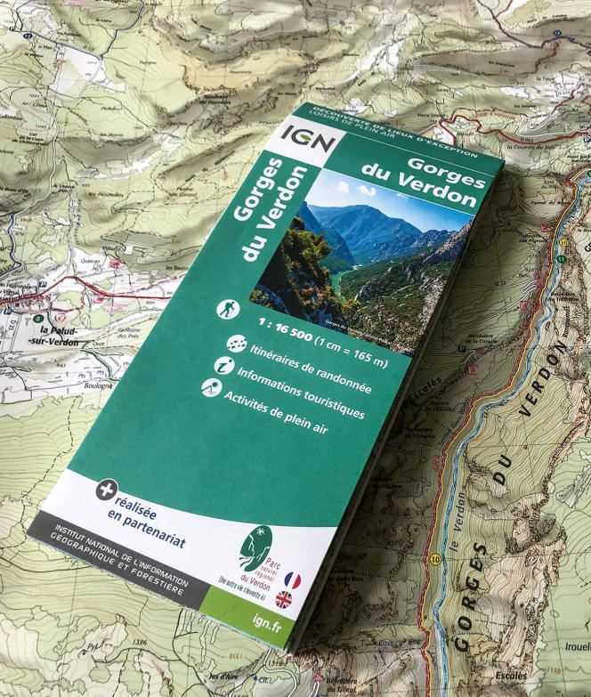
The same goes for the IGN, where the famous Top 25 map (at 1/25 000e) is the ally of hikers. In the summer of 2021, sales increased by 20% compared to the same period in 2019, before the pandemic. Indispensable when the phones get stuck or the network weakens, the IGN card allows you to walk in complete safety. Thanks to it, we can imagine the reliefs to climb, the paths to take and the rivers to cross. Both beautiful and useful, the paper map is a medium for daydreaming, an essential preparation for travel.
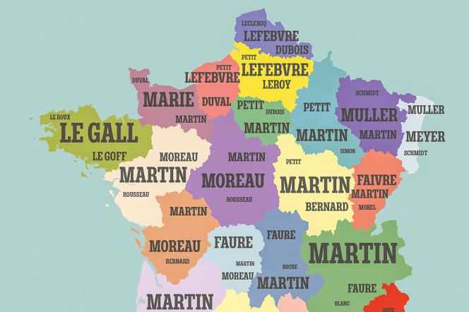
It is this love of geography which animates E. Didal (the pseudonym of an author who chose the E of the Encyclopedia and pays homage to Diderot and d’Alembert in his surname). Cartomania France, his unusual atlas of general culture, has fun locating a wealth of information in France: waterways, nuclear power stations, the 130 Napoleonic departments, wines and cheeses, filming locations for cult films …
Large format, this coffee table book makes us want to set out again on the paths of France and elsewhere. “A paper card gives power to the reader”, enthuses E. Didal. “The GPS takes our responsibility away. The manipulation of the map object, whether it is road or hiking, reinstitutes us as a subject “, he advances. For lovers of cards and prints, Baudelaire would say, the universe is equal to their vast appetite …
Cartomania France, the unusual atlas of general culture, by E. Didal and Atelier Cartographik (La Martinière), € 26.50