Google has just announced the introduction of three new APIs aimed at the environment for Maps. One of them focuses on solar energy and will allow owners of photovoltaic installations to adequately position their equipment.
Google Maps will go far beyond navigation. In addition to its maps, routes and locations APIs, the service will now offer new interfaces entirely dedicated to the environment. The Mountain View firm will provide APIs focused on solar, pollen and air quality for developers. Access to this data could help them create more environmentally friendly tools and services, she explains.
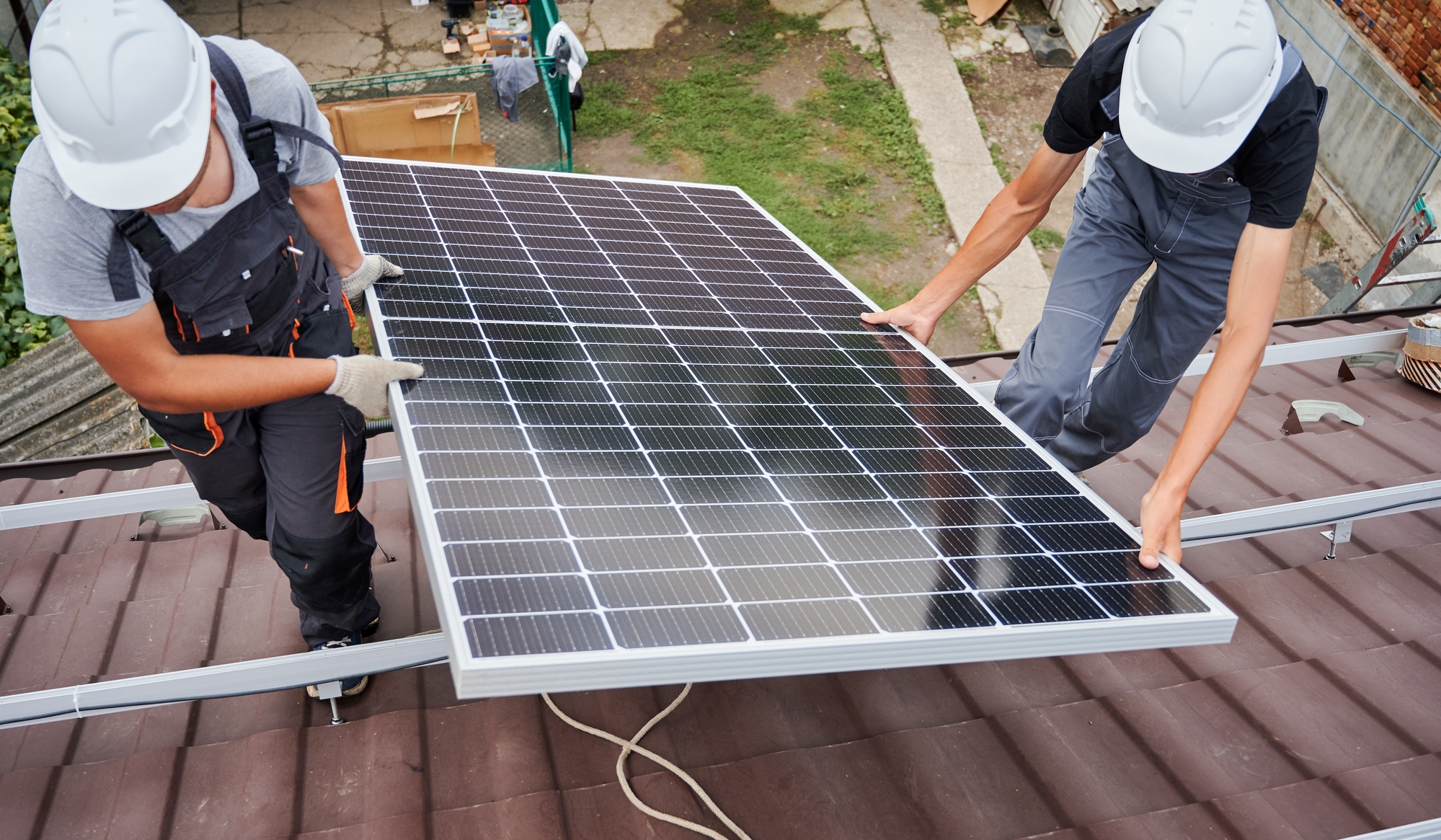
Understanding the potential of roofs to better exploit solar panels
The dedicated solar platform, simply named Solar API, calculates weather conditions and draws data from aerial imagery to help understand the solar potential of rooftops. Drawing on artificial intelligence and the foundations of Project Sunroof, a personalized solar energy savings estimation tool for consumers, the API is powered by imagery from Google Earth.
Combined with foliage and shade data, weather patterns, and local energy grid usage and costs, the API provides estimates of solar energy cost and energy usage based on the position of the solar panels. It provides data on the solar potential of the roofs of more than 320 million buildings in 40 countries, including France.
“ Better understand climate and environmental changes » according to Google
The other two APIs, Air Quality and Pollen, “ can help businesses better understand climate and environmental change », assures Google. In addition to air quality data, the former includes pollution heat maps, as well as information on pollutants in more than 100 countries around the world. The API uses government monitoring stations, weather data, sensors and satellites to provide a local and universal index.
Finally, the Pollen API provides, as its name suggests, access to up-to-date pollen information for the most common allergens around the world. “ It can be used to help people limit the risks of exposure to pollen allergens, make better-informed daily decisions, and adapt to longer and more severe allergy seasons amid climate change. », explains the company.
These three new interfaces are part of the company’s mission to “ help individuals, cities and partners collectively reduce 1 gigatonne of their carbon equivalent emissions per year by 2030 “.
Sources: Google, Mashable
5