
Looking for a shady place to rest? The “ShadeMap” app could be the solution – we’ll explain what it’s all about.
“ShadeMap” shows you the shady places in your area. (Source: Daxiao_Productions /depositphotos.com)
Are you traveling, hiking or walking and looking for a shady and sheltered place to relax and unwind? Then you might like the ShadeMap application from developer Ted Piotrowski. It was the same for him. During a hike in the mountains, he noticed that the solar radiation changed drastically along his path. He wondered if it would be possible to simulate this effect on a card.
picture series
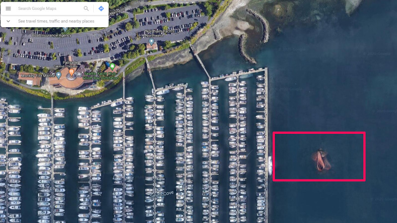
Google Maps Mysteries: What’s Really Behind These Satellite Images
Google Maps Mysteries: What’s Really Behind These Satellite Images
ShadeMap is designed to help us visualize sun and shadow for any time and place on Earth, so we don’t have trouble finding shade anywhere, anytime. Reasons for looking for shady places can be, for example, outdoor activities such as sports, picnics or reading. Shadows can also provide an interesting visual dimension for photographers and artists. The play of light and shadow can enhance the composition and mood of an image or artwork.
Try Shade Map❯
NETZWELT may receive a commission from the retailer for links on this site. More info.
The application basically works like Google Maps, except that you can also move the time to follow the shadow’s progression. In addition, “ShadeMap” uses various data sources such as satellite images, geospatial information or user reports to identify shaded areas in the area.
Also interesting…
Check out the application “ShadeMap” and if you like it, you can make a small donation to the developer on github. Because the operation of the web app is associated with monthly costs.
Don’t miss anything with the NETWORK-Newsletter
Every Friday: The most informative and entertaining summary from the world of technology!